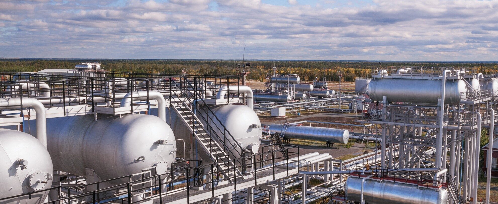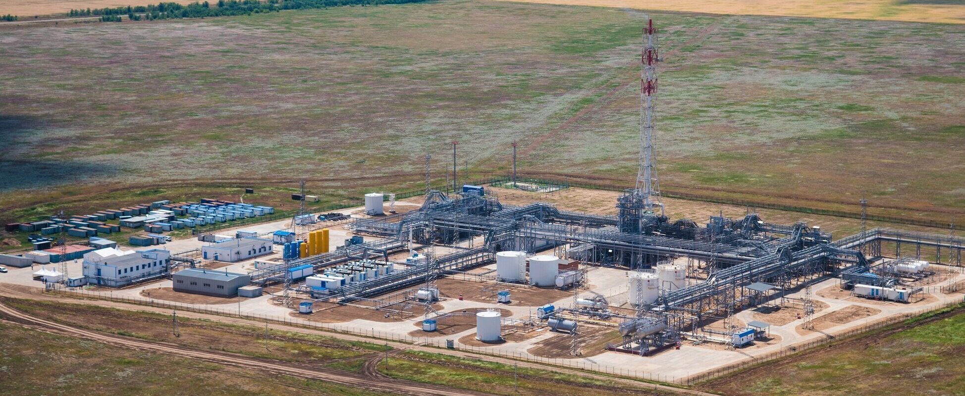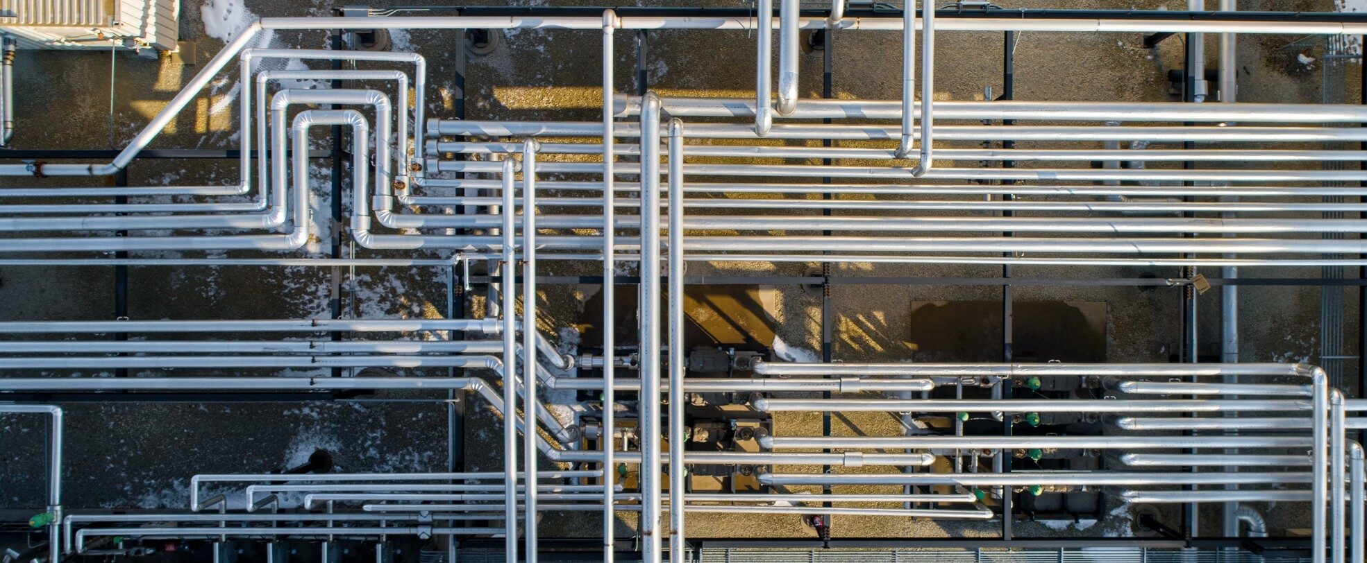
Turning LiDAR Into a Scaled 3D GIS View of an Industrial Piping Facility
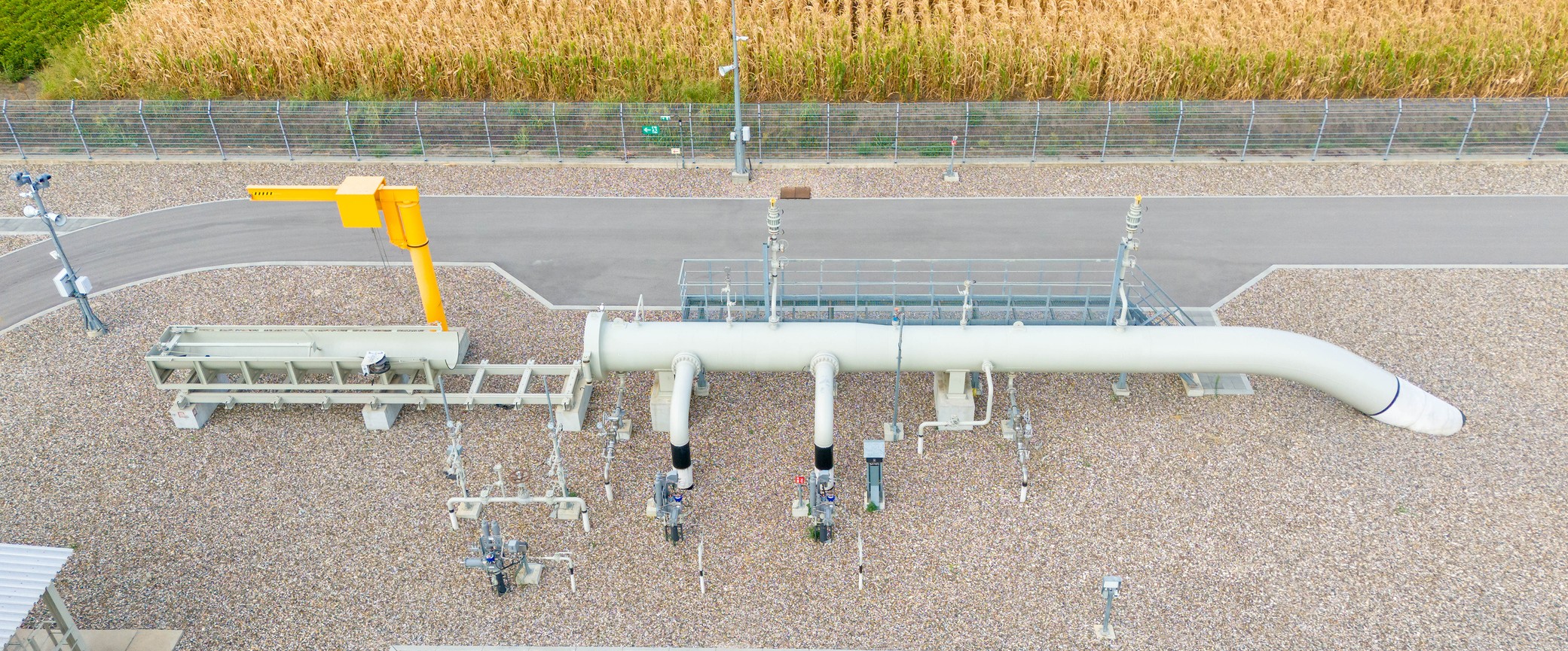
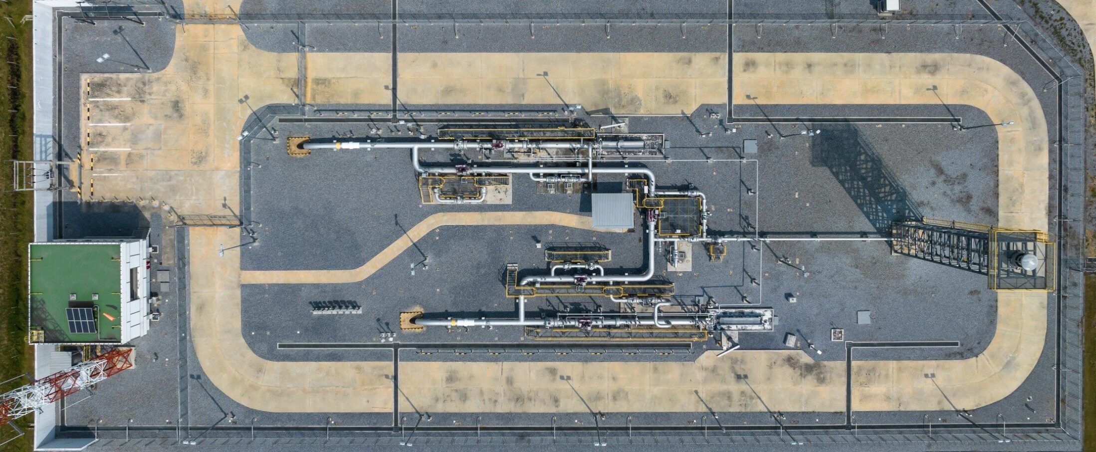
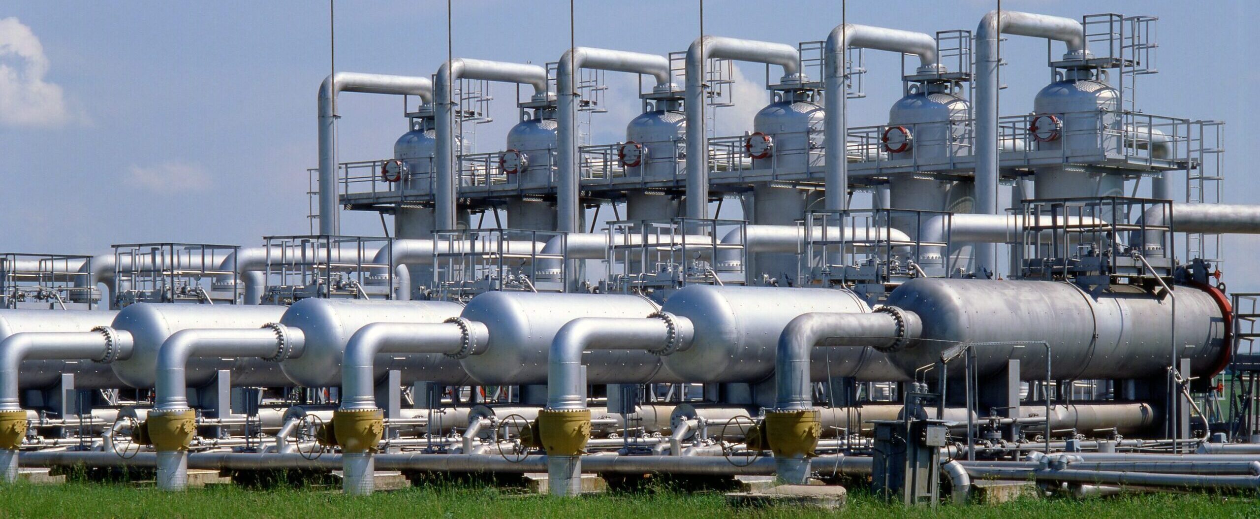
Altamira transformed LiDAR survey data into a scalable 3D GIS model of an industrial piping facility, enabling visualization of pipelines and assets through an interactive dashboard supporting planning, analysis and asset management.